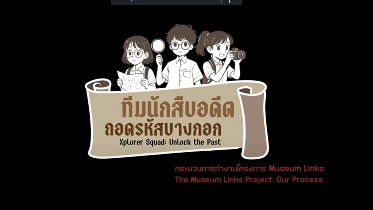
The Museum Links Project: Our Process
VDO
This video takes you behind the scenes of Museum Links, a programme led by NDMI’s Museum Knowledge Development team. It follows the journey from first ideas to co-design with teachers from six schools, showing how learners use comparative maps, interpret historical photographs, and study present-day places on site. The film also showcases students’ work connecting their own discoveries to Modernising Siam—a way of learning history through exploration, evidence, and personal synthesis rather than memorising dates and names.Compiler : Chewasit Boonyakiet
Rattanakosin Historic Area, Bang Phlat District, Thonburi Area
“Museum Links: Our Process” invites viewers into the approach Museum Siam uses to bring history to life beyond the classroom, working with schools in Bangkok’s inner city and across the river in Thonburi. The starting point is a simple but demanding question: How can young people feel that history is all around them, not just a list of events and figures in textbooks? The answer is a co-created process between the museum, schools, and local communities—one that connects evidence, real places, and people, so that learning feels alive and relevant.
Activities are tailored to age and context, built around three core tools:
1. Time-layered maps that help students see continuity and change in the city.
2. Photographs and archival images that train observation and interpretation of visual evidence.
3. Field exploration that anchors learning in the present-day environment and invites comparison with past records.
For secondary students, the programme runs over two days.
Day 1: Learners are introduced to the Modernising Siam frame—understanding a period when Siam engaged with rapid change shaped by regional and global forces—and a concise primer on urban development. They then practise reading maps from three moments in time (today, 1932, and the late reign of King Chulalongkorn/Rama V), alongside historic photographs, forming hypotheses and gathering evidence systematically.
Day 2: The class heads out on a curated route in the lower Rattanakosin area to test their ideas on the ground. Students examine canals and roads, building types and transformations, against the old images and maps. Back in school, they present to the group: What has changed? Why did it change? What evidence supports this?
For primary students, the same principles are adapted to their developmental stage.
At Wat Chat Kaew Chongkolnee School in Bang O, pupils are split into two alternating groups. One takes a short neighbourhood walk to observe the orchard landscape and canal-bank gardens that once underpinned the local economy; the other studies the riverside and current changes around a new bridge that will link both banks of the Chao Phraya. In the final segment, children share imaginative views of how these changes might shape their future.
At Wat Phaorohit School, learning is arranged as rotating “stations”. Pupils read the temple’s mural paintings; continue at Bang Phlat Local Museum to explore stories of orchards and everyday tools; move to the school library for a station on a key local figure—Than Uam, Chaophraya Mukmontri, the school’s founder; and finish with a simple mapping task, sketching their route to school and marking features with modelling clay. The result is natural growth in observation and explanation—an emerging, pupil-made “community log”.
Throughout, the video highlights how teachers and the museum amplify each other’s strengths. Teachers bring deep knowledge of their learners; NDMI contributes methods and learning media that extend classroom teaching into real places. The organising idea is a “pocket guide to reading the city”: Equip with tools (maps / historic images) → Explore via a designed route (selected stops and guiding questions) → Express through public sharing (student-made posters and maps) → Adapt scale and steps to age and time available.
Taken together, the process shows the museum acting as a catalyst that links schools and communities, turning the city into a classroom and bringing history closer to learners—so they can speak about the past, understand the present, and imagine their role in the city’s future.
- National Discovery Museum Institute
4 Sanam Chai Rd., Phra Nakhon, Bangkok 1200 THAILAND
- Opening hours: at 10.00 a.m.- 6.00 p.m. Tuesday-Sunday (closed on Mondays)
- Tel. : 02 225 2777
- Fax. : 02 225 2775


