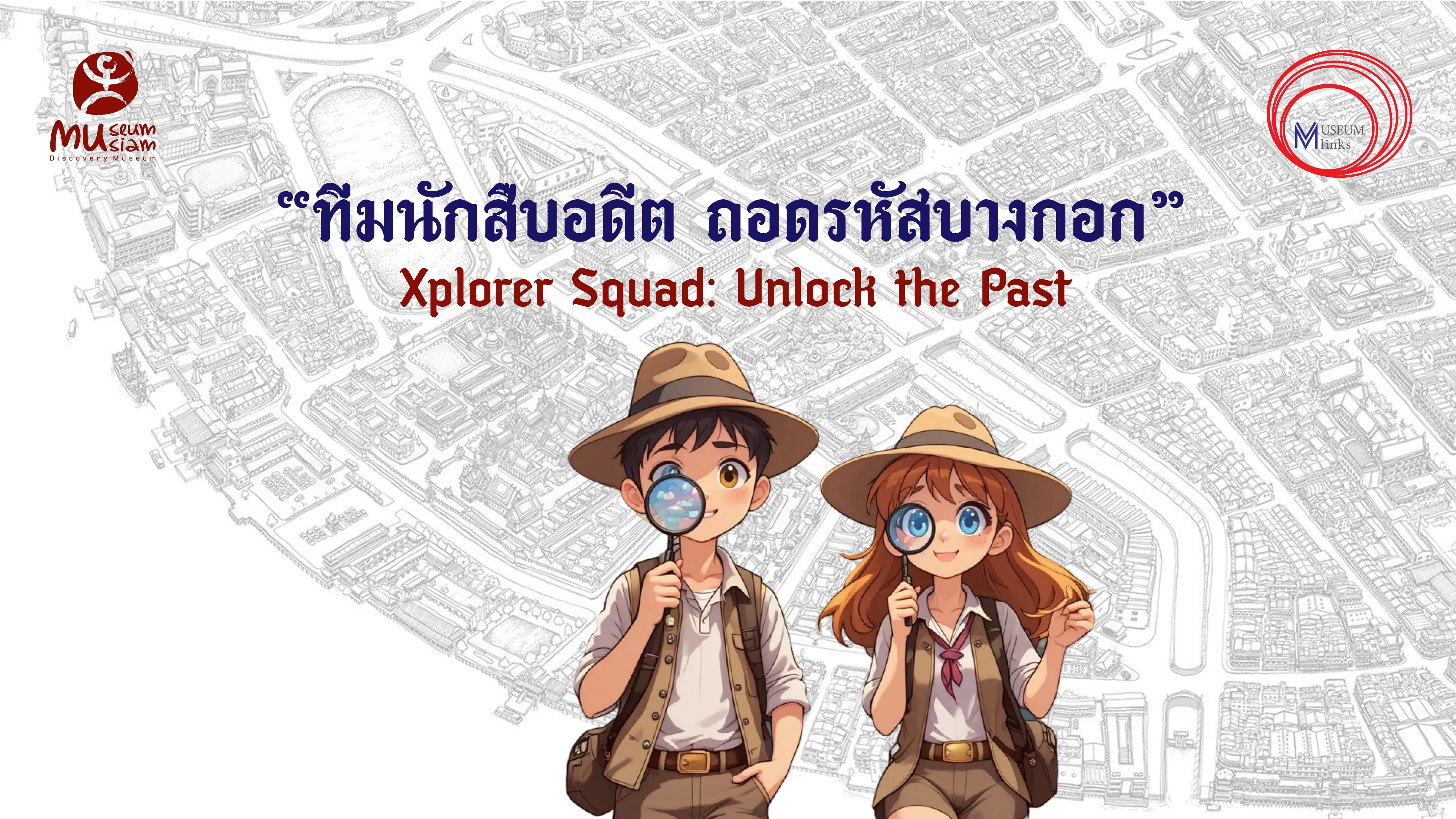
Xplorer Squad: Exploring Bangkok’s Urban History Through Maps, Photographs, and Place-Based Learning
Secondary School
The two-day lesson plan is designed for secondary school students to learn about and explore Bangkok’s past in its historic districts through hands-on activities. Using historical maps, archival photographs, and direct field observation, students investigate how the area around the capital has changed over time and how the physical evidence and sites along the learning route reveal Siam’s adaptation to modernity. The lesson emphasises teamwork, critical thinking, and visual storytelling.
The teaching package includes a comprehensive teacher’s guide, worksheets, games, sets of historical and contemporary photographs, and a heritage trail walking map. These materials are designed for both classroom and on-site use, supporting learning in history, geography, and social studies, as well as promoting place-based education beyond the classroom.
Compiler : Chewasit Boonyakiet
Rattanakosin Historic Area , Reign of King Rama IV , Reign of King Rama V , Reign of King Rama VI , Reign of King Rama VII
This lesson plan aims to foster historical thinking through inquiry-based, place-based learning in Bangkok’s historic district. By engaging with maps, photographs, and real-world urban spaces, students will:
- Develop spatial and visual literacy by reading historical maps and photographs
- Understand urban transformation in Bangkok and its connection to the modernisation of Siam (Siam Mai)
- Practise observation, comparison, research, and collaborative problem-solving
- Synthesise historical and contemporary information through visual storytelling
- Connect classroom learning with direct experiences in the city
Day 1 – Classroom Skill-Building
Before starting the hands-on activities, teachers are advised to watch a 40-minute lecture by Associate Professor Dr Pirasi Phowathong, Faculty of Architecture, Chulalongkorn University. The video introduces key concepts in urban morphology, the idea of the city as a palimpsest, and the transformation of Bangkok during the Rattanakosin period, providing a framework for “reading the city” in both spatial and historical dimensions. It is recommended to watch the lecture “Reading the City: Bangkok’s Development” via the online resource page: [Insert final resource URL]. The lecture lays the foundation for Day 1 activities by helping students understand the city’s visual structure, how to interpret historical maps and photographs, and how to prepare for field observation. It also explains the city’s systems (e.g. canals, street patterns, zoning) and introduces examples of urban changes that students will encounter along the walking route.
Reading Historical Maps
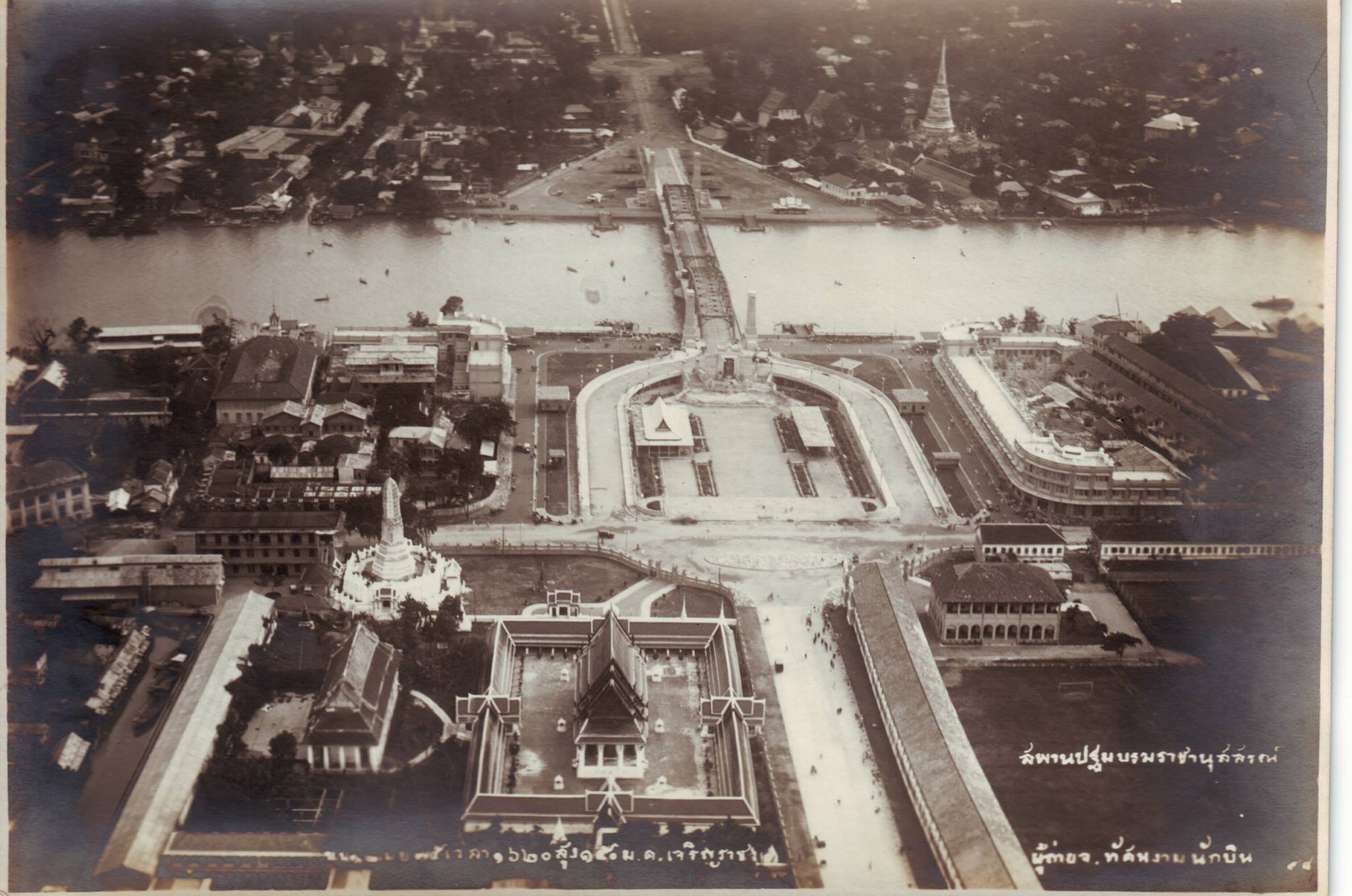
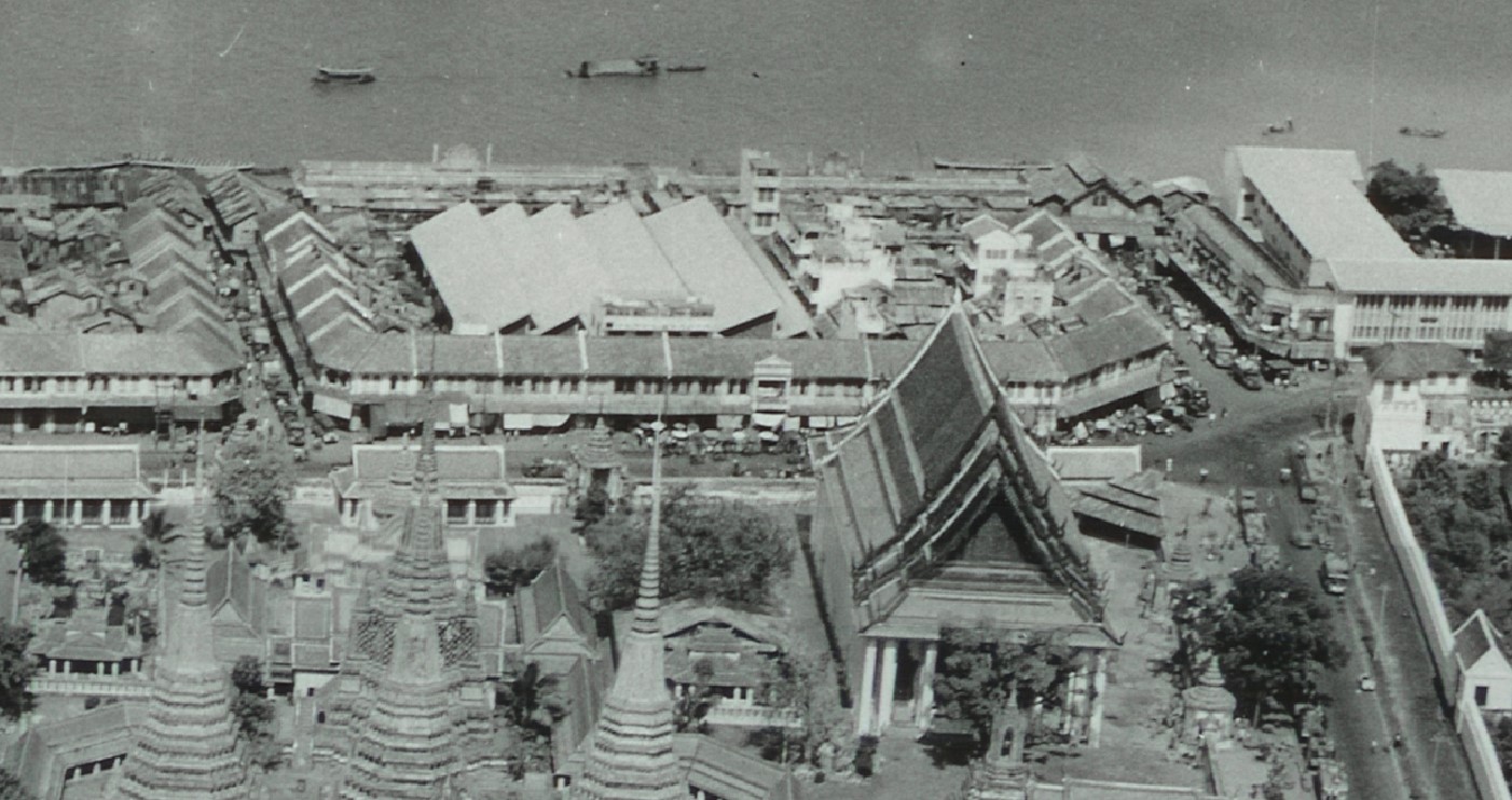
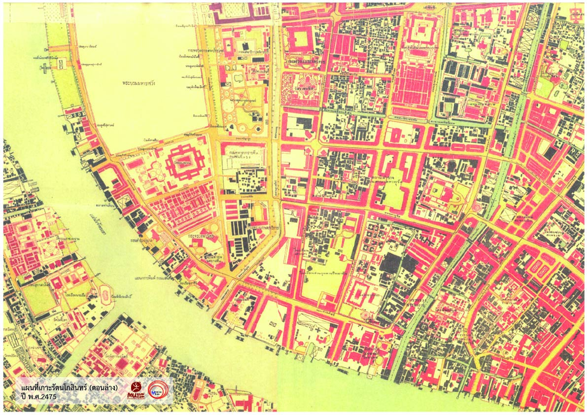
- Begin with the game “Pin the Place”, using clues and cropped images to locate places on a printed Google Map. This activity trains quick decision-making and builds geographical familiarity. Use the document: Map Reading Game - PinThePlace (XplorerSquad). - Next, students analyse urban change through three historical map periods — 1887, 1932, and the present — to understand spatial development and the emergence of modernity. Use the document: Guided Activity - Map Reading (Xplorer Squad), and download the three map sets from the online resource: Xplorer Squads: Unlock the Past – Map Set.
Reading Historical Photographs
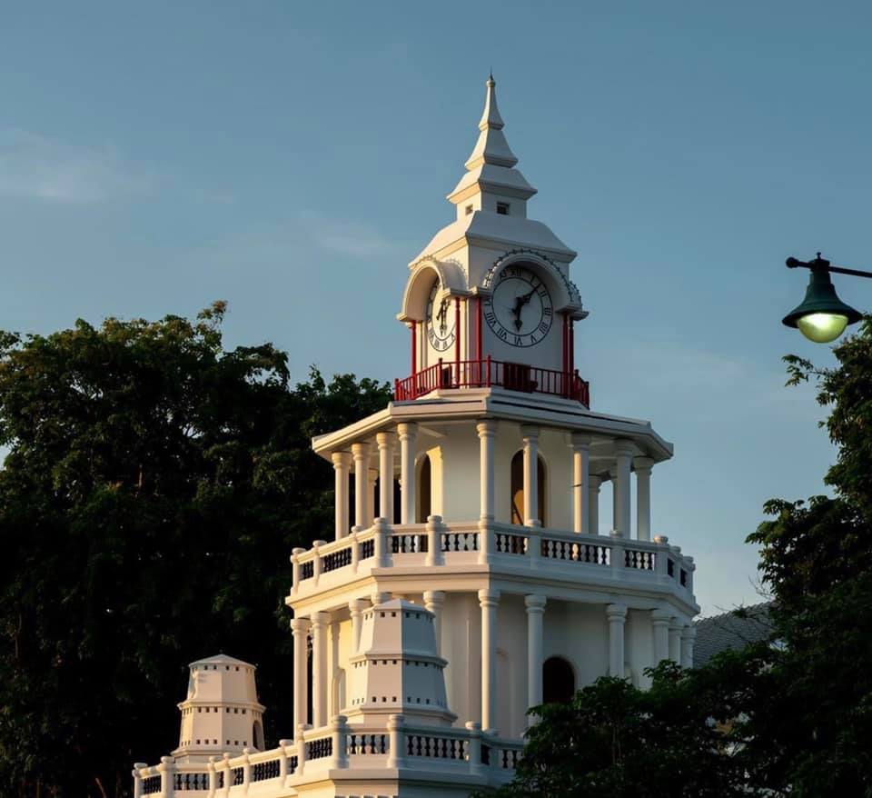
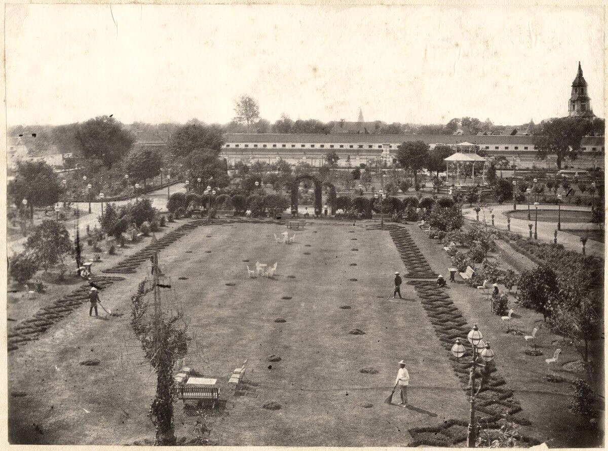
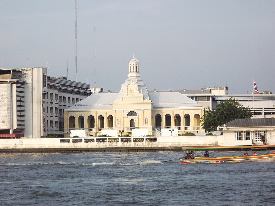
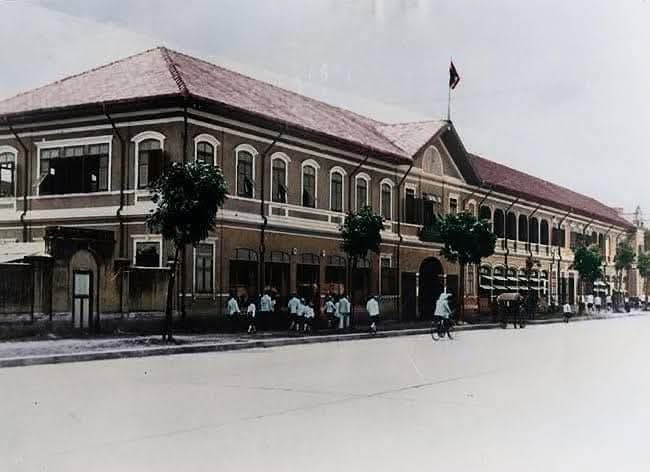
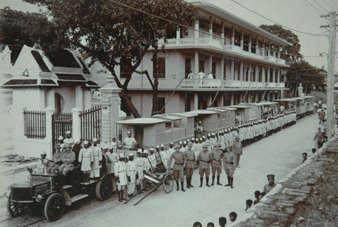
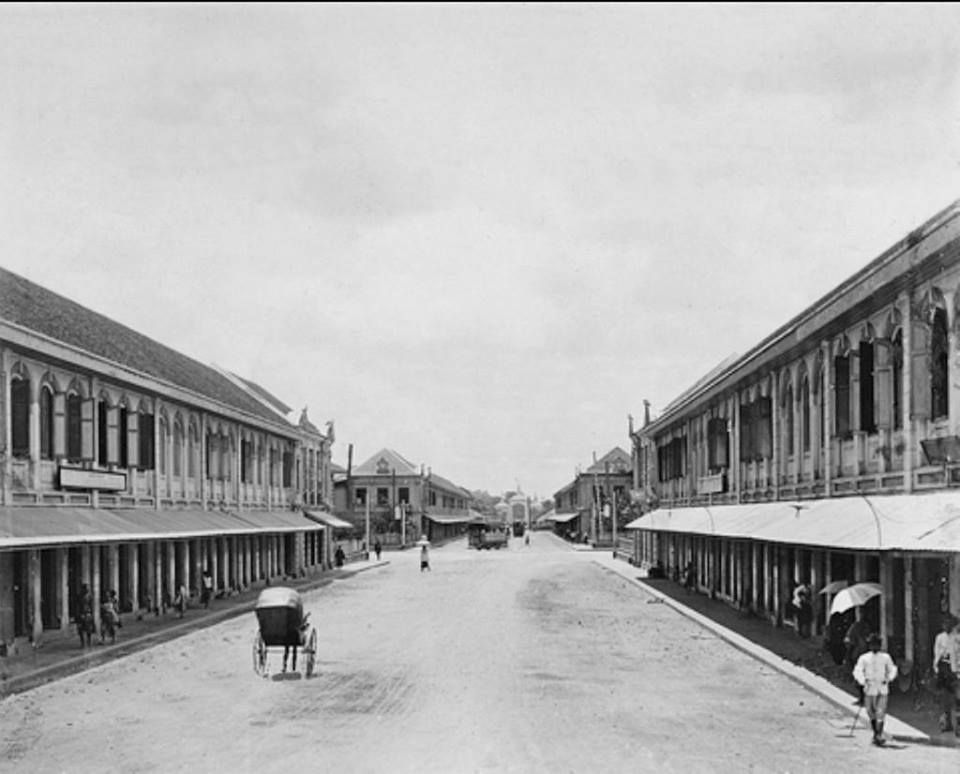
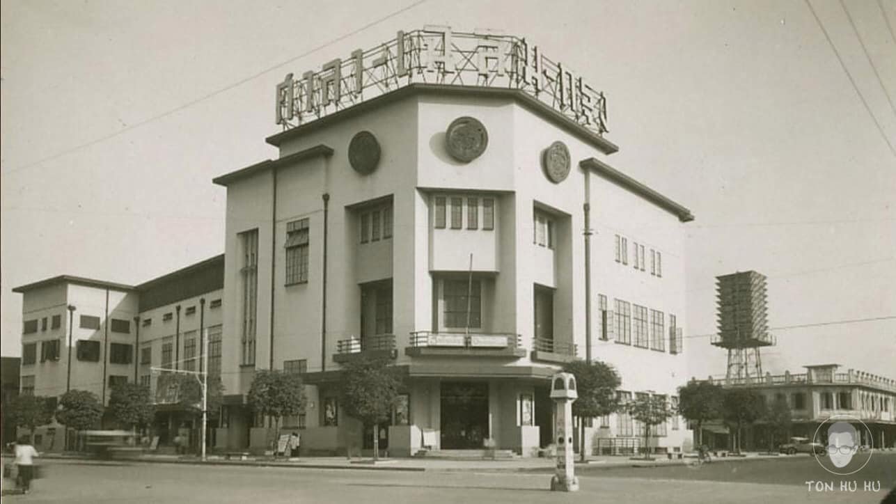
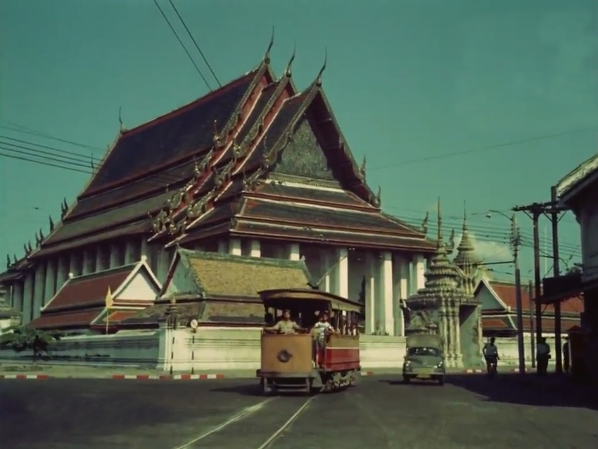
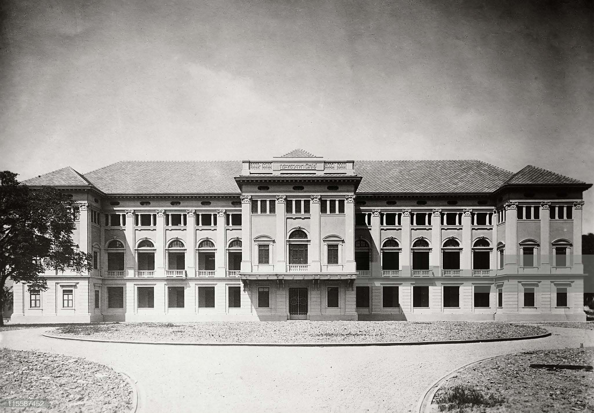
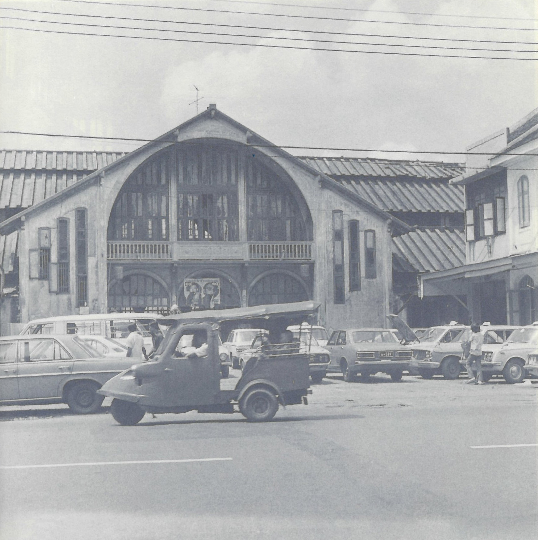
- Start with the Mystery Image game, using cropped sections of historical photographs to spark curiosity and practise visual analysis. Use the document: Photograph Reading Game Mystery Images (Xplorer Squad). The teacher reveals different sections of the image, and students compete to identify the subject, location, or event depicted.
- In the workshop, each group analyses two historical photographs related to their assigned site. They apply observation techniques, online research, and group discussion to explore the site’s meaning within the context of “Modernising Siam.” Students use sticky notes to record and categorise their findings, noting observed details, verified information, and discussion points. Use the following documents:
- Photograph Reading Guideline (XplorerSquad)
- Photograph Reading Worksheet (XplorerSquad)
- Example Images for Photograph Reading (XplorerSquad)
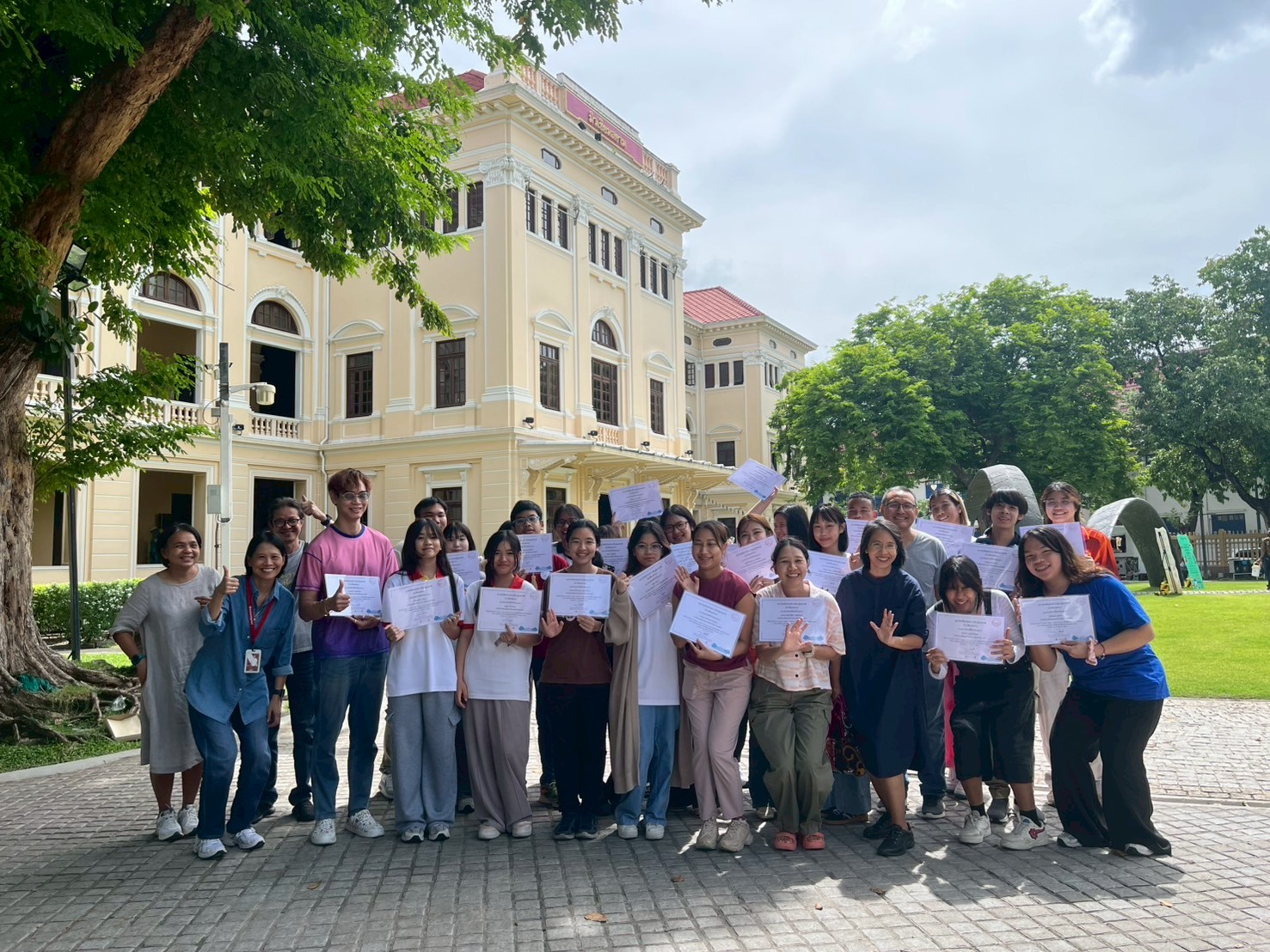
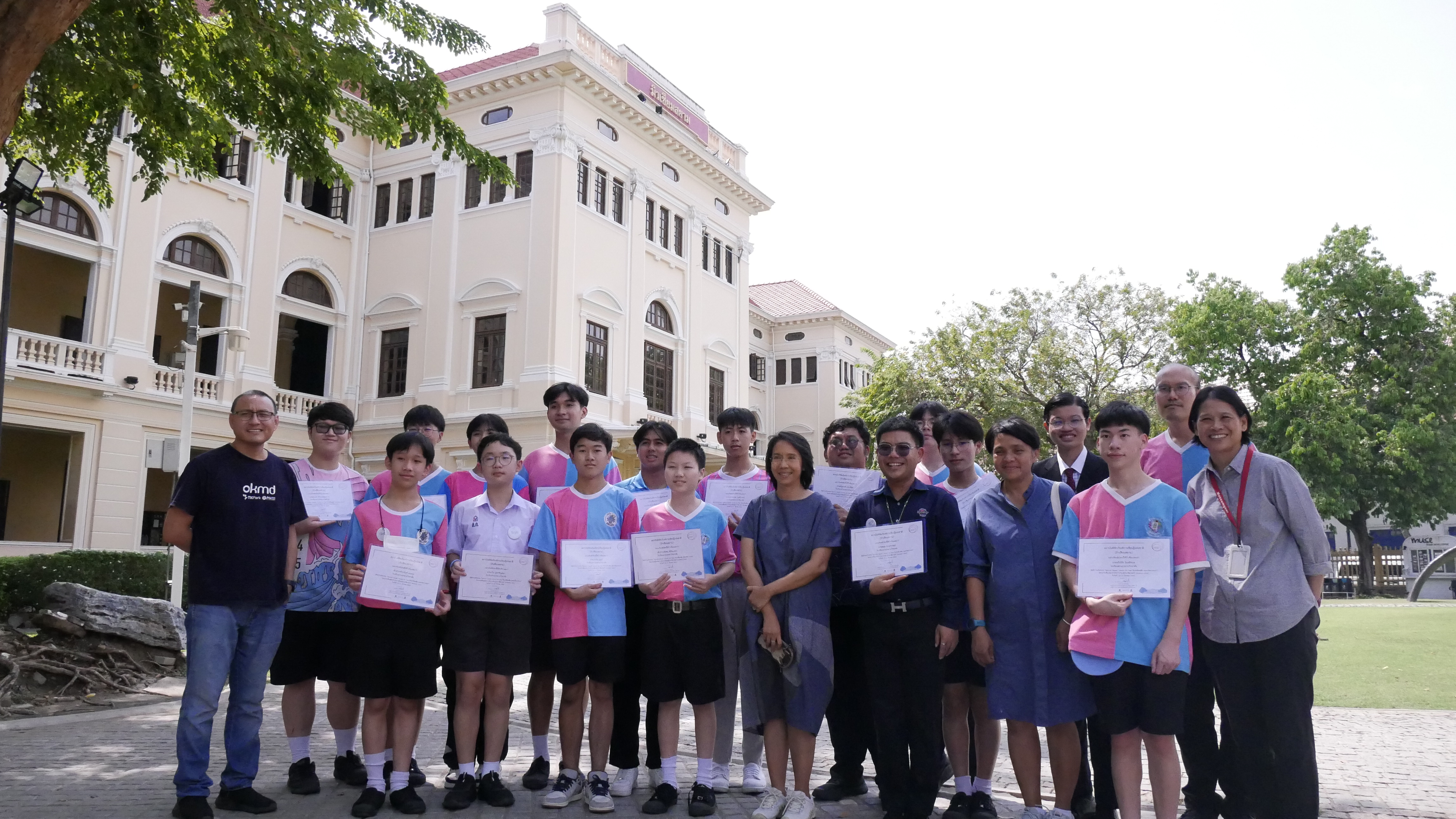
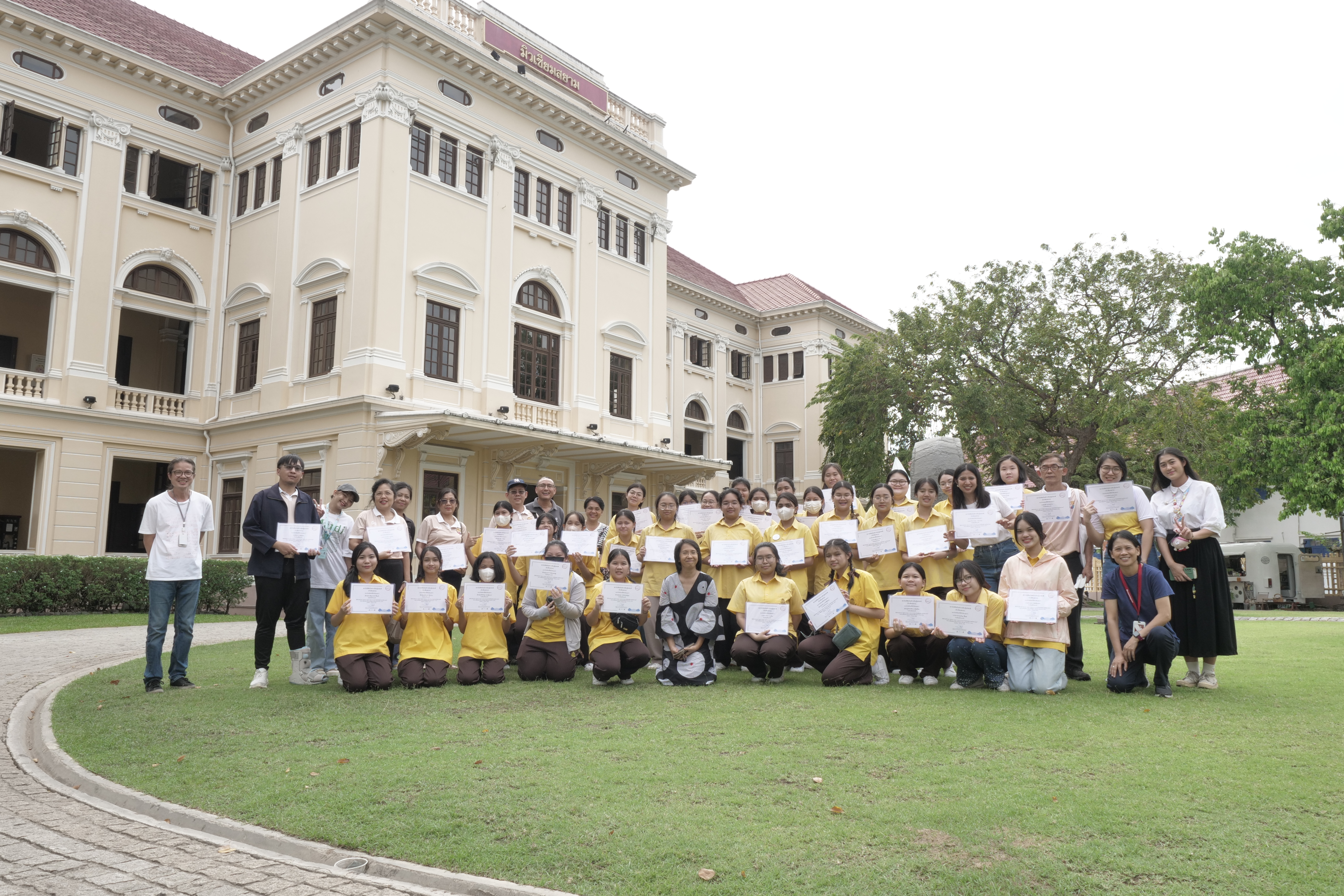
Day 2 – Field Exploration and Synthesis
Field Exploration
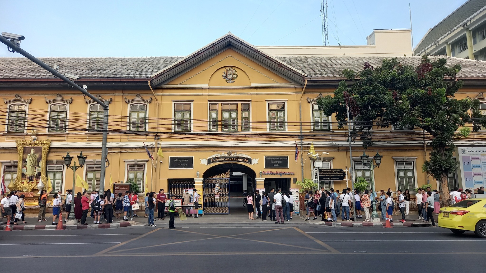
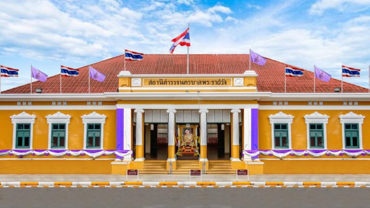
- In the morning, students follow the designated heritage trail. Each group focuses on two specific sites studied during Day 1, taking current photographs of these locations and comparing them with the historical images they analysed previously. Use the document Xplorer Squad - Heritage Trail Map to guide the visit and navigate between sites.
Synthesis and Presentation
- In the afternoon, each group presents their old–new photo comparisons, accompanied by explanations, observations, and a title. Presentations are created on flip chart sheets and should be delivered creatively to the class. Materials include flip chart paper, markers, glue, sticky notes, and printed copies of images.
Assessment focuses on both the learning process and the final outputs, using four dimensions: Participation & Collaboration; Analytical Thinking & Use of Evidence; Synthesis & Communication; Historical Reflection & Meaning-making. Teachers can assess through observation, worksheet review, group outputs, and presentations. Use the attached “08_Assessment_ENG” to score quickly and consistently.
What we assess (four dimensions)
1) Participation & Collaboration (process, individual, 0–3)
We look for active and fair participation across the activity: contributing ideas and decisions, asking relevant questions, staying focused during the on-site walk, and sharing roles/supporting peers.
2) Analytical Thinking & Use of Evidence (process → product, group, 0–3)
We judge the quality of thinking shown in the four-part photo worksheet (observation, inquiry, interpretation, planning), attention to historical details in maps/photos, and basic verification using tools (e.g., quick searches with notes on what was checked).
3) Synthesis & Communication (product, group, 0–3)
We evaluate how clearly the team connects past and present: accurate then/now matching, clear explanation of similarities, differences, and reasons for change, and effective visual design (captions, arrows, colour, timeline) that improves understanding.
4) Historical Reflection & Meaning-making (product, group, 0–3)
We look for concise reflection that goes beyond description: how the site connects to “Modernising Siam”, why certain changes occurred, what they imply about Thai society, and why learning history through place matters.
Scoring method (simple & fair)
- C1 Participation is scored per student (individual, 0–3).
- C2–C4 are scored per team (group, each 0–3).
- Student total = C1 (individual) + C2 + C3 + C4 (team) = /12
- Proficiency bands: 10–12 Proficient | 7–9 Developing | 0–6 Emerging.
The full lesson spans 2 consecutive days, ideally structured as follows:
- Day 1 (3.5–4 hours): Classroom activities — map reading and photograph workshops
- Day 2 (3.5–4 hours): Morning trail walk (approx. 2.5 hours) and afternoon group synthesis and presentations
The timeline is flexible and can be adapted to suit school timetables, with optional extensions for independent research or expanded creative output.